This article contains advertising. My booking links are routed through a partner that adds commission tracking automatically, so if you book through one I earn a commission from the provider, at no extra cost to you. It never affects what I recommend. Affiliate disclosure
The first thing to understand about the Cotswolds is that you will never find it on a road sign as a single destination. There is no town called Cotswold, no central square, no station with the name above the platform. It is a stretch of country, a band of pale limestone hills running diagonally across the western Midlands and the edge of the West Country, and the honey-coloured villages everyone pictures are scattered the length of it.
So where is it, exactly? Roughly speaking, the Cotswolds sits in south-central England, west of Oxford and north-east of Bath, covering parts of six counties and just under 800 square miles. That is a large area, far larger than most first-time visitors expect, and knowing how it is laid out is the difference between a relaxed trip and a fortnight of driving in circles. This guide pins it down: the boundaries, the counties, the regions locals actually talk about, and how to pick the corner that suits you.
Where is the Cotswolds on a map of England?
Find Oxford on a map, then look west. That is where the Cotswolds begins. The region lies between four cities that make handy corner markers: Oxford to the east, Cheltenham and Gloucester to the west, Stratford-upon-Avon to the north, and Bath to the south. Follow the line of the hills from near Stratford-upon-Avon down to beyond Bath and you have the rough spine of the region, roughly 90 miles of it.
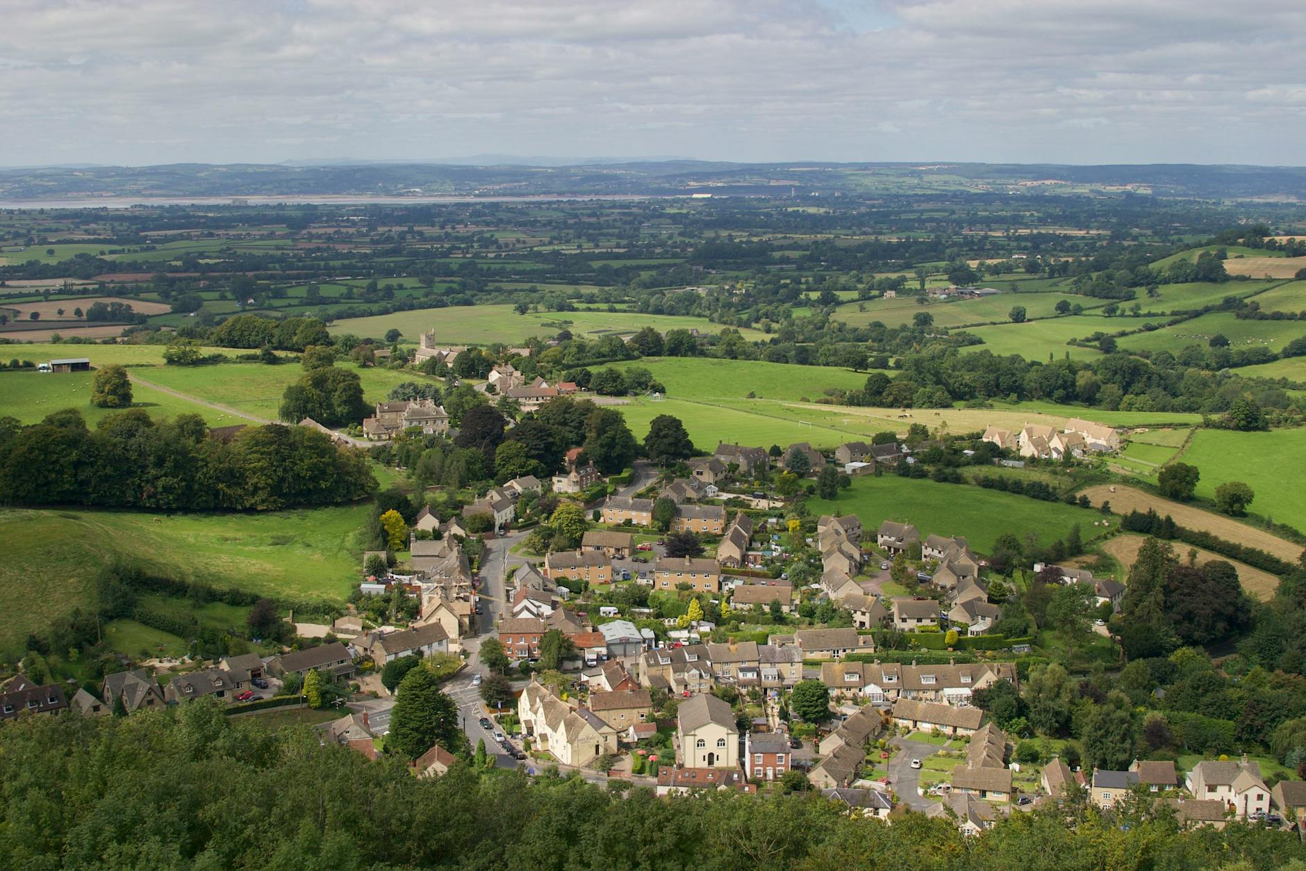
It is around 25 miles across at the widest point. The western edge is sharp and obvious: a steep escarpment that drops away towards the River Severn, with the long views people remember. The eastern side is gentler, the hills flattening out and sliding down into the Thames Valley and the Oxfordshire plain, so the boundary there is vague and you barely notice crossing it. London lies to the east, with rail links running from the capital into the region. For the full picture of how it all fits into a trip, our complete guide to visiting the Cotswolds is the place to start.
What county is the Cotswolds in?
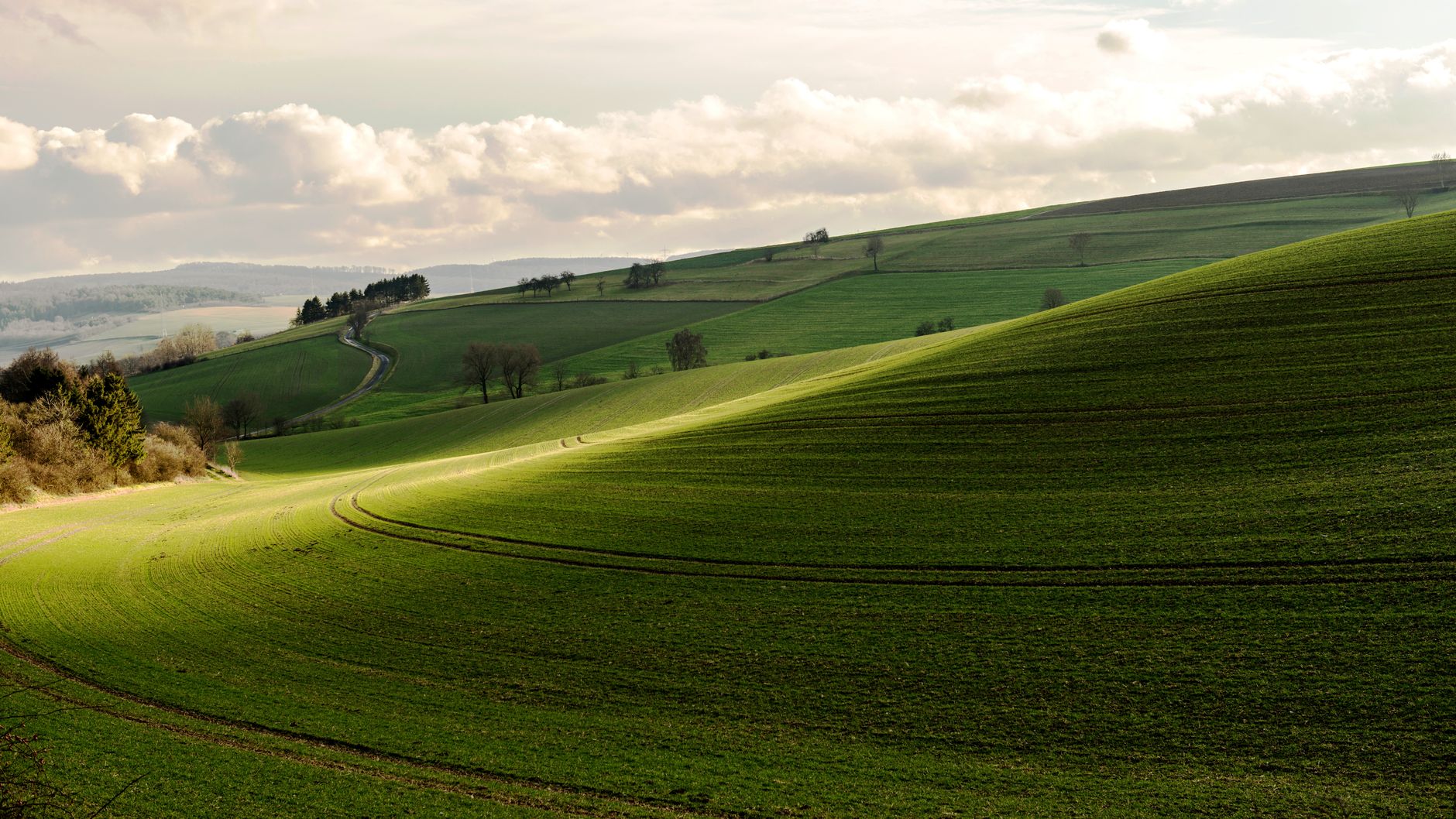
This is the question that trips people up, because the honest answer is six of them. The Cotswolds does not respect county lines. Most of it lies in Gloucestershire, but it spills over into Oxfordshire, Warwickshire, Wiltshire, Worcestershire and the top of Somerset. That matters for planning more than you would think, because each county approaches the hills from a different direction and has its own gateway towns and train stations.
Gloucestershire: the heartland
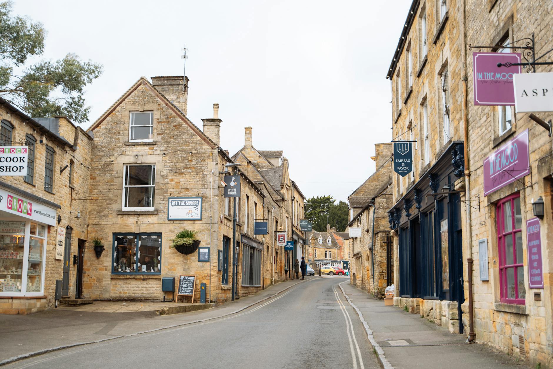
Gloucestershire holds the lion’s share, somewhere around three-fifths of the designated area, and it is where the postcard villages cluster. Bourton-on-the-Water, Stow-on-the-Wold, the Slaughters, Bibury, Painswick and Cirencester all sit here, along with the market towns of Northleach, Tetbury and Winchcombe and the spa town of Cheltenham on the western fringe. If you only have a few days and want the classic experience, you will almost certainly spend them in Gloucestershire. Our roundup of the prettiest villages in the Cotswolds leans heavily on this county for good reason.
Oxfordshire: the eastern side
Oxfordshire covers the side closest to London and Oxford. This is Burford country, the handsome wool town that calls itself the gateway to the Cotswolds, along with Chipping Norton, the string of villages known as the Barringtons, and Kingham, which often turns up in lists of England’s best places to live. The eastern Cotswolds feels a touch quieter than the Gloucestershire honeypots and is the most natural base if you are coming out from the capital. Our guide to Burford covers the obvious first stop.
Warwickshire: the northern tip
The northern point of the Cotswolds reaches up into Warwickshire, almost touching Stratford-upon-Avon. It is a small share and an easily missed one, taking in unshowy villages such as Ilmington and Ebrington. The appeal here is the overlap with Shakespeare country: you can pair a morning in a quiet Cotswold hamlet with an afternoon in Stratford without much driving.
Wiltshire: the southern edge
Down in the south, the Wiltshire Cotswolds gives you Castle Combe, regularly voted the prettiest village in England, along with Malmesbury, which lays claim to being the country’s oldest borough, and the small town of Corsham. The stone down here runs a shade paler and the country is more rumpled and steep-sided. It is also the closest part of the Cotswolds to Bath, so it pairs well with a Georgian city break. See our guide to Castle Combe if the south is calling.
Worcestershire and Somerset: the corners
Two counties contribute corners rather than chunks. Worcestershire holds the north-western edge around Broadway, which sits right on the boundary, and the lush Vale of Evesham below the escarpment. Bath and North East Somerset forms the south-western limit; the city of Bath itself sits just outside the official line, but the countryside lapping at its edges, including the lovely Limpley Stoke valley, is firmly inside. Both corners share the same trick: stand on the escarpment and the land falls away beneath you into a broad green vale.
The Cotswolds National Landscape: where the official boundary runs
If you want a hard boundary rather than a vague sense of “the hills”, the one to use is the protected-area line. The Cotswolds was designated an Area of Outstanding Natural Beauty in 1966. In late 2023 every AONB in England and Wales was rebranded as a National Landscape, so you will now see it called the Cotswolds National Landscape, though the legal designation underneath is unchanged. The body that looks after it, once the Cotswolds Conservation Board, is now the Cotswolds National Landscape Board.
That protected area covers about 787 square miles, or just over 2,000 square kilometres, which makes it the largest National Landscape in England and Wales and bigger than several national parks. The designation is the reason the place looks the way it does. Planning is tightly controlled, new buildings are generally expected to use local stone, and the dry-stone walls, field patterns and dark woods are actively protected. For visitors it means well-kept footpaths, guarded viewpoints and a landscape that has changed remarkably little in a century. We go into what the status means on the ground in our piece on the Cotswolds AONB and National Landscape.
How big is the Cotswolds, really?
People underestimate this constantly. At about 787 square miles the Cotswolds is larger than Greater London (607 square miles) and about three-quarters the size of Dorset (1,024 square miles). North to south it runs about 90 miles, from the Warwickshire edge near Stratford down to Bath; east to west it is about 25 miles at the broadest. On the twisting country lanes that means you would be doing well to cross from one end to the other in under two hours, and that is before you stop for a single photograph or a pub lunch.
The practical lesson is simple. You cannot see the Cotswolds in a day, and you cannot really see it in a week either. Trying to tick off the famous villages at both ends in one trip means spending your holiday behind the wheel. Far better to pick one region, settle in, and explore it properly, then come back for another. If you are weighing up how long to give it, our guide on how many days you need in the Cotswolds works through the options from a day trip to a full week.
The regions of the Cotswolds, area by area
There are no official sub-regions, but locals and walkers talk about the Cotswolds in fairly consistent chunks, and understanding them is the single most useful thing for planning. Each has a slightly different feel, a different shade of stone and a different level of crowding.
The North Cotswolds
This is the bit most people mean when they say “the Cotswolds”. Broadway, Chipping Campden, Stow-on-the-Wold, Moreton-in-Marsh, Bourton-on-the-Water and the Slaughters all sit within a short drive of one another. The area has the best rail link in the region at Moreton-in-Marsh. Our guides to Broadway and Stow-on-the-Wold cover the headline stops.
The Central Cotswolds
Between the famous north and the busy south lies a quieter middle, around Northleach, the Guitings, Naunton and the Windrush Valley. Fewer coaches come here, the walking is superb, and the medieval wool churches are some of the finest in the country. Northleach has a particularly magnificent one, stuffed with the engraved memorial brasses of the merchants who paid for it. If you want the classic Cotswold look without the crowds, this is where to point the car.
The South Cotswolds
Centred on Cirencester, Tetbury, Bibury and Painswick, the south has deeper, steeper valleys and a cooler, paler, more silvery stone. The antiques shopping in Tetbury and Cirencester is the best in the region, the Stroud valleys to the west have a creative, slightly bohemian streak and a famous Saturday farmers’ market, and Cotswold Lakes (formerly Cotswold Water Park), a spread of over 180 lakes, sits at the southern edge for watersports and birdlife. Bibury and Painswick are the standouts.
The Western Escarpment
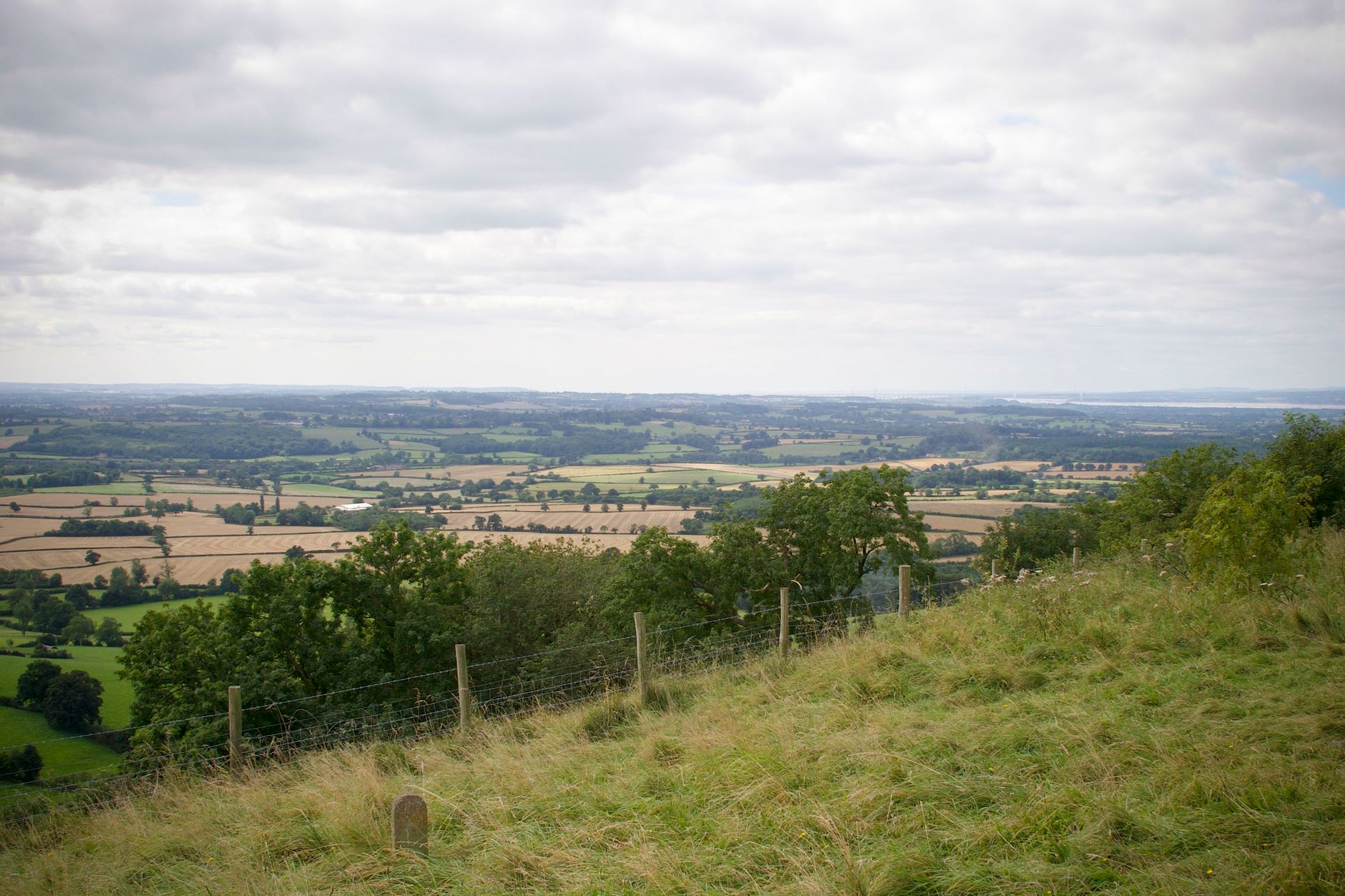
The dramatic western edge is less a place to stay than a place to go for the views. The land drops sharply into the Severn Vale, and the high points along the lip include Cleeve Hill, the highest in the Cotswolds at 330 metres just above Cheltenham; Leckhampton Hill, with its rock pillar, the Devil’s Chimney; Painswick Beacon; and Dover’s Hill above Chipping Campden. The Cotswold Way long-distance path traces this escarpment for much of its length, which is why walkers love it. More routes are in our guide to walking and hiking in the Cotswolds.
The Eastern Fringes
The eastern Cotswolds, around Burford, Chipping Norton, Woodstock and the Evenlode Valley, is where the hills soften and merge into Oxfordshire. It is the most convenient area for day trips from London or Oxford, with easy access from the A40 and M40, and it has one genuine blockbuster attraction in Blenheim Palace at Woodstock. The villages are still built of Cotswold stone but the landscape is gentler and the pace a little less frantic than the northern honeypots.
What makes it the Cotswolds, and not just any hills?
You can usually tell the moment you have crossed into the Cotswolds, even without a sign, and it comes down to two things: the stone and the shape of the land.
The stone
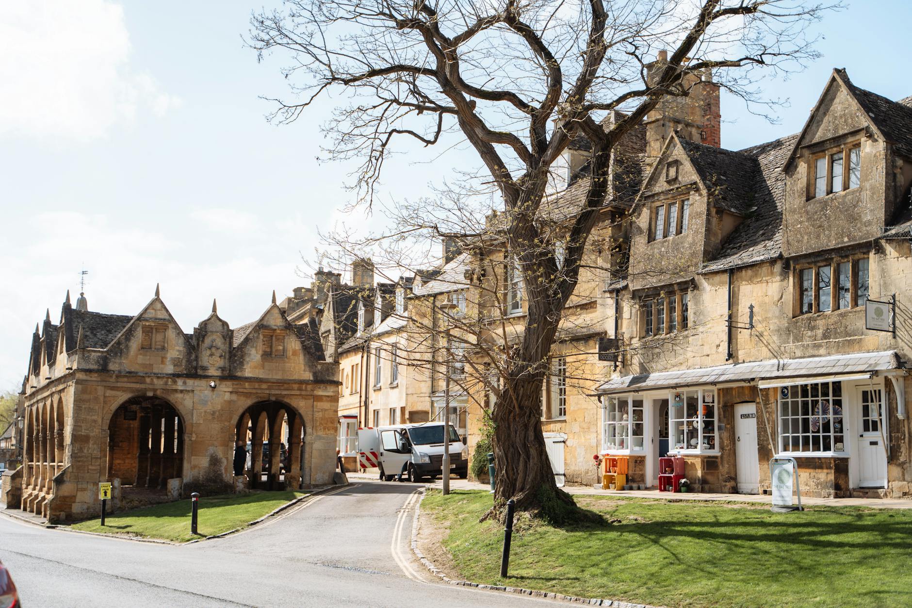
The defining feature is oolitic limestone, a warm, golden rock that has been quarried here since the Romans came. Almost everything is built of it: cottages, churches, pubs, barns, garden walls and the dry-stone field boundaries that lace the hills together. The colour shifts as you travel, deep golden in the north around Broadway and Chipping Campden, paler and greyer in the south towards Bath, and that single shared material is what gives the whole region its uncanny visual unity. It is why a village here looks of a piece in a way that few other places manage.
The wolds
The name itself tells you about the land. “Cotswold” is usually read as deriving from old words for sheep enclosures and for “wolds”, the open, rolling upland of a limestone plateau. These are not jagged mountains; they are smooth, windswept hills grazed by sheep and divided by pale walls. Between them, shallow valleys carry clear rivers, the Windrush, the Coln, the Evenlode and the Churn, through water meadows and past the riverside villages that draw the crowds. The geology is the foundation of all of it; our guide to Cotswolds history and heritage traces how the wool trade then built the wealth on top.
Where to base yourself, by what you want
Because the region is so spread out, where you stay shapes the whole trip. Here is how I would choose, depending on what you are after.
For the classic experience: base in Stow-on-the-Wold or Bourton-on-the-Water in the north-centre. From here many of the best-known villages are a short drive away, and you can change direction each day without long drives.
For peace and quiet: head for the central villages, somewhere like Northleach, Guiting Power or Naunton. You will be off the main tourist trail but still within easy reach of everything, and you will have the lanes largely to yourself in the evenings.
For the south and antiques: base in Tetbury or Cirencester, which puts Bibury, Painswick, Castle Combe and Bath all within comfortable range.
For day trips from London or Oxford: Burford or Chipping Norton on the eastern side are closest to the motorway and make the easiest gateways.
For arriving by train: Moreton-in-Marsh has direct services from London Paddington in around 90 minutes and is the most useful station in the region. Our full breakdown of areas and budgets is in the guide to where to stay in the Cotswolds.
How to get to the Cotswolds
For all its rural feel, the Cotswolds is not hard to reach. By car it is bracketed by major roads: the M5 runs down the western edge past Cheltenham and Gloucester, the M40 skirts the east near Oxford, and the A40, A44, A429 and A46 thread through the middle. Most visitors drive, simply because a car opens up the scattered villages that public transport cannot easily reach.
Without a car you have options, though they take a little planning. The main railway lines skirt the region rather than crossing it: trains from London Paddington serve Moreton-in-Marsh, Kingham and Charlbury on the northern side, while Kemble near Cirencester, Stroud and Cheltenham Spa cover the west and south. From those stations local buses fan out to the villages, but they run infrequently and thin out badly on Sundays, so check times before you commit. The detail, including the most useful bus routes, is in our guide to getting to and around the Cotswolds.
When to go once you have found it
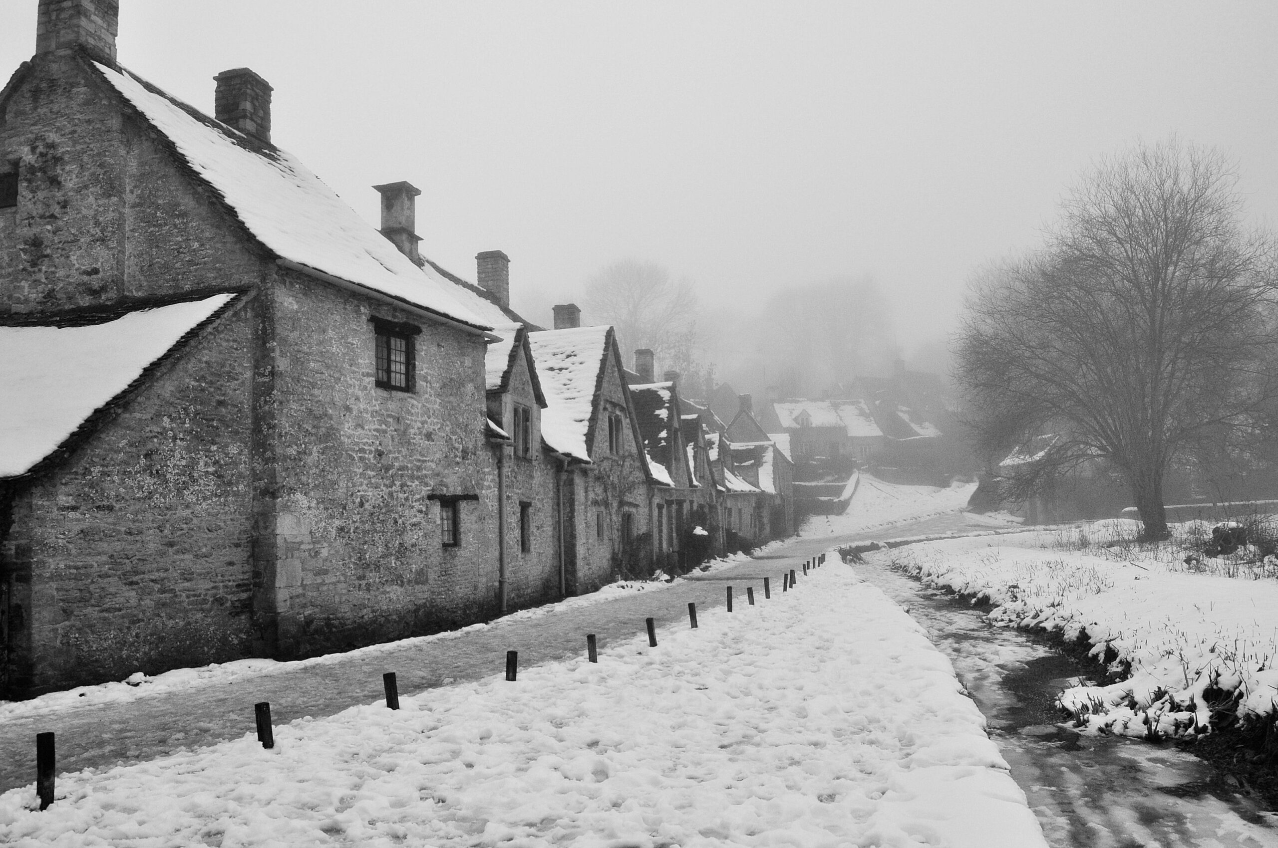
Knowing where the Cotswolds is only gets you halfway; when you turn up changes the experience as much as which county you pick. Late spring and early autumn are the sweet spots, with kind weather and thinner crowds. High summer and the school holidays bring the heaviest pressure to the northern honeypots, while winter is the season of pub fires. Snowdrops carpet gardens like Painswick’s in late winter, and the beech hangers along the escarpment are glorious in October. We break it down properly in our guide to the best time to visit the Cotswolds, which goes month by month.
Frequently Asked Questions
What county is the Cotswolds in?
The Cotswolds spans six counties. Most of it lies in Gloucestershire, which holds around three-fifths of the area, with a large share in Oxfordshire and smaller parts in Warwickshire, Wiltshire, Worcestershire and the Bath and North East Somerset corner. There is no single “Cotswolds county”.
Is the Cotswolds a town or a region?
It is a region, not a settlement. There is no town called Cotswold. It is a landscape of hills, valleys, villages and small market towns. The largest town actually within the area is Cirencester, with a population of about 20,000.
How far is the Cotswolds from London?
London has rail links into the region, including to Moreton-in-Marsh, so check the day’s journey times on National Rail when you plan. Burford and the eastern Cotswolds are the quickest to reach by road via the M40 and A40.
Is Bath in the Cotswolds?
Bath sits right on the southern edge. The city centre falls just outside the official National Landscape boundary, but the countryside immediately around it, and some of its outskirts, lie inside. Bath is built from the same golden limestone, which is why it blends so naturally with the villages to its north.
Is Oxford in the Cotswolds?
No, Oxford lies just outside, to the east. The Oxfordshire Cotswolds proper begins about 18 miles from the city around Burford and Chipping Norton, which makes Oxford an excellent base for day trips into the region.
What is the highest point in the Cotswolds?
Cleeve Hill, on Cleeve Common just above Cheltenham, at 330 metres (1,083 feet). It is the highest point in both the Cotswolds and Gloucestershire, sits on the western escarpment, and is crossed by the Cotswold Way, with views reaching to the Malverns and the Welsh hills on a clear day.
Related guides
Now you know where it is, plan the rest with our complete guide to visiting the Cotswolds and our pick of the prettiest villages in the Cotswolds. Work out timings with how many days you need and the best time to visit, then sort the journey through our guide to getting to and around the Cotswolds.